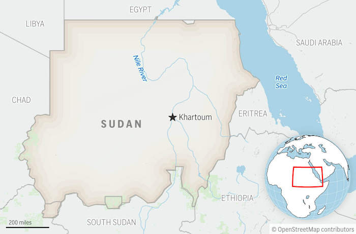
The discovery of a high-status Roman villa in Rossett, Wrexham, invalidates the long-standing archaeological assumption that Northern Wales served exclusively as a militarized buffer zone. Traditional historiography categorized this region as a "military district," defined by temporary marching camps and fortified outposts designed to suppress the Ordovices and Deceangli tribes. However, the presence of a sophisticated domestic complex featuring hypocaust systems (underfloor heating) and stone masonry shifts the analytical focus from regional pacification to civil economic integration. This site represents a fixed capital investment that would be irrational in an unstable or purely extractive military frontier.
The Economic Preconditions for Villa Construction
A Roman villa was not merely a residence; it functioned as the primary node of an agrarian production system. For such a structure to exist in the Wrexham periphery, three systemic pillars must have been functional:
- Security of Tenure: No private investor or Romanized elite would fund stone-built infrastructure without a high probability of long-term asset security. This indicates that by the late 1st or early 2nd century AD, the local security climate had transitioned from active insurgency to a regulated administrative state.
- Market Connectivity: The surplus grain or livestock produced by the estate required a "vent for surplus." The villa’s proximity to Deva Victrix (Chester) provided a guaranteed monopsony through the Roman military's logistical requirements.
- Labor Stratification: The maintenance of a villa required a specialized labor force—architects, mosaicists, and plumbers—suggesting that the local economy had evolved beyond subsistence farming to support a service-based secondary sector.
Architectural Indicators of Romanization
The Rossett site reveals a specific architectural logic known as the "winged-corridor" plan. This design is a deliberate departure from the circular, timber-framed dwellings indigenous to Iron Age Britain. The transition from curvilinear to rectilinear architecture is a physical manifestation of a shift in spatial cognition and social hierarchy.
The hypocaust system found at the site serves as a proxy for the owner's integration into the Roman value chain. Heating a stone villa in the damp climate of Northern Wales required a consistent supply of seasoned timber or coal, implying the existence of managed woodlands or mining rights. This represents a complex supply chain that functioned independently of the central military command. The presence of Roman roof tiles (tegulae and imbrices) further suggests local industrial kilns, potentially linked to the Legio XX Valeria Victrix based in Chester, indicating a blurring of the lines between military production and civilian consumption.
The Geopolitical Correction: From Buffer to Province
The "Military Zone" model previously used to describe Wales relied on a binary logic: the Southeast was "Civilian/Romanized" while the West and North were "Military/Barbaric." The Wrexham discovery creates a territorial bridge that collapses this dichotomy.
- The Proximity Variable: The villa is situated roughly 10 miles from the legionary fortress at Chester. This distance is optimal for a "suburban" elite estate—close enough to benefit from the protection and markets of the fortress, yet distant enough to operate as an independent commercial entity.
- The Resource Extraction Thesis: Northern Wales was a critical source of lead, silver, and copper. The villa likely served as the administrative headquarters for a "conductores" (state-contracted manager) overseeing these extractive industries. If the villa owner was a local chieftain who had transitioned into a Roman administrative role, it demonstrates the success of the Roman "hearts and minds" strategy through wealth co-optation rather than sheer force.
Geophysical Surveying as a Force Multiplier
The identification of this site without extensive initial excavation highlights a shift in archaeological methodology. Remote sensing technologies—specifically ground-penetrating radar (GPR) and magnetometry—allow for the mapping of subterranean structures by measuring anomalies in the earth’s magnetic field or the reflection of electromagnetic pulses.
The GPR data at Rossett revealed distinct linear patterns consistent with stone foundations. This non-invasive approach provides a "blueprint before the shovel," allowing researchers to quantify the scale of the settlement—estimated at several rooms surrounding a central courtyard—without disturbing the stratigraphy. The precision of these tools transforms archaeology from a speculative venture into a data-driven discipline capable of identifying "invisible" settlements that left no surface trace due to centuries of agricultural plowing.
Quantifying the Demographic Shift
The existence of the villa implies a demographic density previously unrecorded in the region. A villa of this magnitude would support an extended household and a dependent tenant population ranging from 50 to 100 individuals. When extrapolated across the Cheshire Plain and the Wrexham corridor, this suggests a networked landscape of estates rather than isolated outposts.
The logical consequence of this settlement pattern is a revised understanding of the Roman tax base (the annona militaris). If Northern Wales was populated by tax-paying agrarian estates rather than just subsidized military units, the region was an asset to the Roman Treasury rather than a net drain. This changes the valuation of the British province during the late 2nd-century crises, suggesting a higher degree of resilience in the "fringes" than previously modeled.
Structural Constraints and Uncertainties
Despite the high-confidence data provided by the geophysical surveys, several variables remain unquantified:
- Chronological Span: Without extensive ceramic or numismatic (coin) evidence from stratified layers, the exact duration of the villa’s occupation is speculative. It is unclear if the site survived the "Great Conspiracy" of 367 AD or if it succumbed to earlier economic contractions.
- The "Villas in the North" Paradox: While Rossett is a clear outlier, it remains to be seen if it is a singular anomaly or the first identified node in a wider, undiscovered network. The "absence of evidence" for other villas may simply be an "evidence of absence" in systematic GPR surveys of the region.
The Wrexham discovery dictates a total re-evaluation of the Roman frontier strategy. Analysts must now treat the Welsh borderlands as a zone of active capital investment and cultural synthesis. The strategic implication for future archaeological surveys is clear: focus on the transition zones between known military hubs and navigable river systems. The "missing" civilian history of the North is likely embedded in these transit corridors, waiting for geophysical validation.
Future excavation efforts should prioritize the villa’s "trash pits" or middens. The isotopic analysis of animal bones and the chemical composition of discarded pottery will provide the final data points needed to map the exact trade routes that linked this "frontier" estate to the heart of the Roman Empire. Expansion of GPR surveys across the Dee Valley is the immediate tactical requirement to determine the true density of this newly recognized Romanized landscape.